The Footpath Shortcut That Misleads on a Map
A footpath shortcut on a map can hide gates, awkward crossings and sharp turns. Learn what to look for before choosing the easier route.
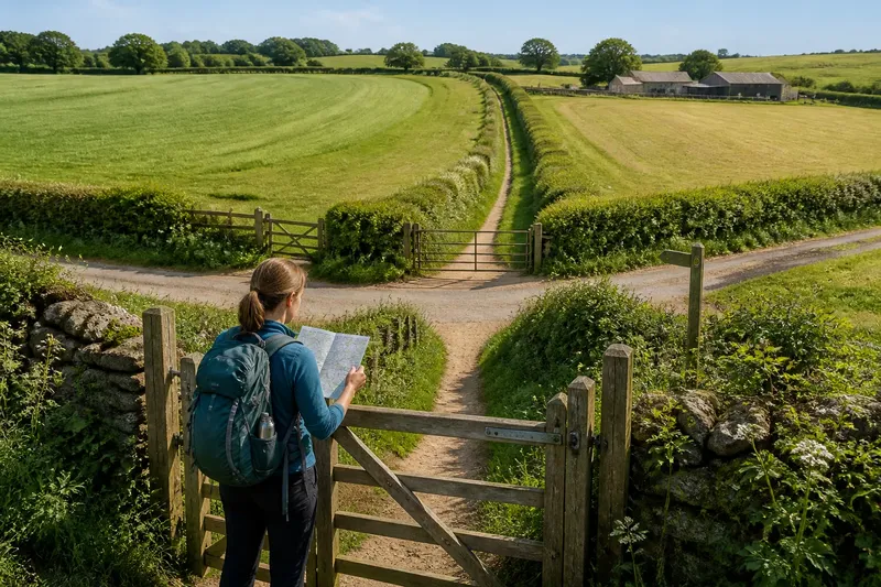
You spot a footpath shortcut on a map: a fine line cuts across a field and seems to spare a long sweep around its edge. At the stile, the line takes a sharp turn toward a lane, and the neat shortcut begins to look less neat. A map shows where a path goes, but its shortest drawn line does not necessarily make the easiest walk.
Route choice depends on more than distance. Gates, changes in direction, crossings and the ground between them all affect how a path feels to follow. These details are easy to miss when the line is small and the field is large.
Why can a footpath shortcut on a map mislead?
A mapped path is a guide to a route, not a promise that it will be straight, level, unobstructed or easy to follow. A short line may contain several decisions in quick succession: leave the field by a gate, cross a track, turn beside a hedge, then find the next opening.
On a screen, those actions can collapse into a few pixels. In the landscape, each may interrupt a steady stride or require you to pause and check where the path continues. A route that bends gradually may be easier to walk than a shorter line that repeatedly changes direction.
What should you check before choosing the shortcut?
- Count the changes of direction. Look for sharp bends, junctions and places where the line appears to double back. Several small turns can make a route less obvious, especially where field edges or tracks look similar.
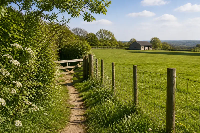
- Look for gates and stiles. A symbol or map detail may suggest an access point, but it may not convey how often you will need to stop, open a gate or cross a boundary. A sequence of narrow passages can make a short route feel more broken up than a longer path.
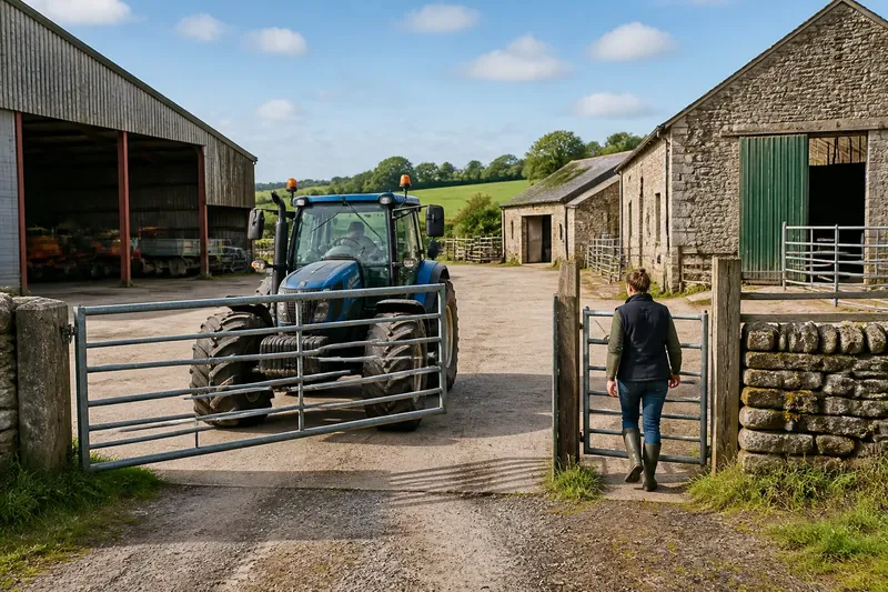
- Notice road and track crossings. A path that crosses a lane or farm track asks for a different kind of attention from one that stays within a field. Check how the route approaches the crossing and whether the path seems to continue clearly on the other side.
- Study where the path meets field edges. A line that follows a hedge or boundary is often easier to trace visually than one crossing open ground, but corners and gaps can still be ambiguous. See whether the mapped route leaves the edge, rejoins it or passes through a marked opening.
- Compare the whole shape, not just the line length. A longer route with a steady direction may be simpler to follow than a compact route with multiple turns and crossings. Consider which one offers clearer landmarks and fewer interruptions.
- Check the map’s level of detail. A small-scale overview can make paths and junctions appear closer together than they are on a more detailed map. Zoom in where the route changes direction or meets a boundary.
How do bends, gates and crossings change the walk?
A bend matters because it can hide what comes next. A path that turns behind a hedge or along the far side of a field may require you to look for a continuation rather than simply follow the line ahead. If several bends arrive close together, the walking rhythm becomes stop, check, turn, repeat.
Gates and stiles add small pauses. A gate may open in a particular direction or need to be closed behind you; a stile asks you to cross rather than walk through. Neither makes a path unusable, but both change the pace and can matter when you are carrying a bag or walking with someone who moves more slowly.
Crossings bring a different decision. A mapped footpath can intersect a farm track or public road, and the line beyond may not be immediately visible. A clear continuation, such as a gate aligned with the approach, is easier to read than a path that appears to enter an open field without an obvious next point.
Imagine you are choosing between a short diagonal across a field and a longer route following its edge. The diagonal reaches two gates and a track crossing before turning toward a less distinct path; the edge route follows a visible hedge and passes one opening. If you value a steady, legible walk, the longer line may be the more straightforward choice, even though it covers more ground.
How can you read route details without overtrusting the map?
Use the map to form a sequence of landmarks rather than treating the route as one uninterrupted stroke. Note where the path leaves a lane, reaches a boundary, crosses a track and changes direction. These are the points where you are most likely to need to confirm that you are still following the intended line.
Where available, compare a detailed map with a broader view. The detailed view can make junctions easier to inspect, while the broader view helps you understand how the route sits among fields, lanes and buildings. Neither replaces observation on the ground; the point is to arrive with a better sense of what to look for.
Pay attention to the direction of approach. A gate visible from one side may be harder to spot from the other, and a hedge can screen the onward route. At a turn, pause and look for the next mapped feature rather than assuming the most worn-looking track is the correct continuation.
Path markings and access arrangements can vary by place. Follow signs on the ground and check the relevant map or local guidance if a route’s status or access is unclear.
Which details are worth checking on a map?
Does the shortest route have more turns?
Check the line for tight bends, junctions and short changes of direction. If several occur close together, a longer route with a clearer shape may be easier to follow.
Where does the path cross a road or track?
Mark each crossing and look for a visible continuation beyond it. A crossing that leads directly to a boundary opening is usually easier to read than one followed by an indistinct stretch.
How many gates or stiles appear along the way?
Count mapped access points as likely pauses, not as obstacles that make the path impossible. A route with fewer interruptions may suit a walk where maintaining an even pace matters.
Can you identify landmarks at every turn?
Look for a hedge corner, lane junction, building edge or other feature that helps confirm each change of direction. If a turn has no clear reference, plan to stop and check the map there.
When is the longer route the better choice?
Choose the longer line when it offers clearer landmarks, fewer interruptions or simpler crossings. This is not a rule that extra distance is always better; it is a way to judge the route by the decisions it asks you to make along the way.
Think of a route like a string of beads: the distance is the string, while gates, turns and crossings are the beads you have to handle one at a time. A shorter string with many awkward knots can take more attention than a longer one that runs cleanly between recognizable points.
Before setting out, compare the routes at the places where their character changes. If the shortcut requires repeated searching for the next turn, while the longer path follows an unmistakable edge, let clarity weigh alongside distance. The most useful footpath on a map is not always the line that reaches the destination first; it is the one you can read as you walk it.