Why Fields Meet at Angles Instead of Straight Lines
Why fields meet at angles becomes easier to read when you trace slopes, streams, older boundaries and access without mistaking clues for proof.
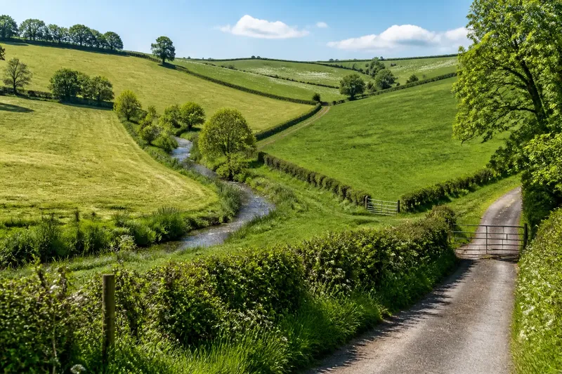
At a bend in a country lane, one field ends in a sharp corner while the next follows a stream before turning uphill. Why fields meet at angles is a question you can begin answering on foot, by tracing what the boundary actually follows and separating that evidence from a guess about its age.
Where does the edge actually turn?
Start with one corner or bend that you can see clearly from a public path or roadside. Notice whether the edge is a bank, ditch, hedge, fence, change in crop, or simply a line between two differently managed areas. These forms can overlap, and a boundary that looks straight from one viewpoint may shift once you follow it.
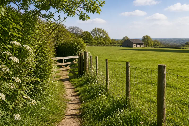
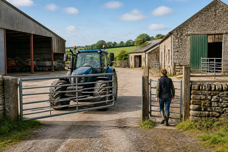
Walk along the accessible side, rather than crossing a field or approaching farm machinery. At each turn, look for a nearby feature that could account for it: a stream, slope break, track, exposed rock, old bank, or building. Record the sequence in plain terms, such as “fence follows the ditch, then turns uphill at the gate.” That is more useful than writing “ancient boundary” before you have reason to know.
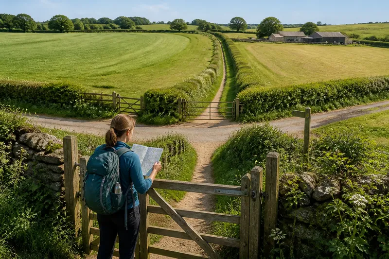
A map can help you keep your bearings. Compare a current online map with an aerial image, but treat both as views rather than verdicts: mapped lines can simplify bends, and aerial imagery may obscure a ditch beneath vegetation. If the boundary is not accessible from a public route, read it from a lawful viewpoint instead.
Does the slope explain the angle?
Look across the field as well as along its edge. A boundary may change direction where the ground steepens, levels out, or narrows into a hollow. Farming on a slope often makes access and workable ground part of the layout; an edge that appears arbitrary on a flat map may mark where the land becomes awkward to reach or use.
Check whether the line follows a contour or cuts across it. A contour-following edge may coincide with a more manageable strip of ground, while a boundary climbing directly uphill may connect a track, gate, or neighboring plot. Neither pattern alone identifies the reason. Treat the landform as a clue, then see whether other visible features support it.
Imagine you are viewing a pasture from a public lane. Its upper boundary makes a diagonal turn where the hillside steepens, and a narrow track reaches a gate nearby. You can note that slope and access coincide at the corner; you cannot conclude from that view alone who created the line or when.
What does a stream or hollow contribute?
Follow the watercourse visually where it is safe and lawful to do so. A field edge may parallel a stream, bend around a wet hollow, or meet a crossing at a practical point. Look for changes in the ground as well as the visible channel: a damp strip, a shallow depression, or a band of rougher vegetation can reveal the route when the water itself is hard to see.
Then ask whether the boundary tracks the feature continuously or only meets it briefly. A line that follows a stream for a distance and then turns toward a gate may reflect more than one practical constraint. Streams also shift or become hidden, so a present-day match does not establish that the watercourse and field edge began together.
Could an older boundary be shaping the line?
Look for traces that continue beyond the field’s current use: a raised bank, a shallow ditch, a line of mature trees, or a boundary that aligns with another visible division. The strongest observation is a pattern you can describe and check from more than one viewpoint. For example, several adjacent edges may meet at a similar angle, or a bank may continue through a patch of scrub.
These traces can suggest that today’s boundary reused an earlier division, but they do not date it. A hedge may conceal a ditch; a modern fence may sit on an older bank; a crop line may mimic a permanent boundary for a season. Write down what is physically present separately from what you think it might represent.
How can you tell a clue from an origin story?
Use a simple two-column note, on paper or in your phone:
- Observed: what you can point to, such as “the field edge follows a shallow stream bend.”
- Possible explanation: a restrained interpretation, such as “the stream may have influenced the boundary.”
Keep the first column concrete and the second conditional. A neat angle on a map is not proof of a survey line, and an irregular line is not proof of great age. Like reading a crease in a folded map, you can see where the line turns without knowing who first made the fold.
If you want to investigate further, compare older maps held by a local archive or library with current imagery, checking whether the same turn appears in each. A matching line across sources can strengthen the case that the boundary has persisted, but it still may not reveal the original decision or its purpose. Land records and local knowledge may add context, though the exact explanation can remain uncertain.
What questions help narrow the explanation?
Why does a field boundary follow a slope?
It may follow a change in terrain, connect usable ground, or align with access. Look for a contour, track, or gate at the turn before settling on one explanation.
Can a stream create an angled field edge?
A watercourse can influence an edge where the two run together or meet at a crossing. A present-day alignment is a clue, not proof that the stream set the original boundary.
Does a visible bank prove a boundary is old?
A bank is evidence of a physical feature, but its age and purpose need more context. Compare its alignment with neighboring boundaries and, if useful, older maps.
Why do field corners cluster near gates?
A turn near a gate may connect fields with a track or provide a practical entrance. The position supports an access-related explanation, but it does not establish when the boundary was laid out.
What should you leave with?
Before moving on, make one careful note of the line’s sequence: what it follows, where it turns, and which nearby features coincide with the change. Add a separate, tentative explanation only after recording those observations. That small distinction makes reading why fields meet at angles more accurate—and leaves room for the landscape to be more complicated than a tidy story.